Mt Everest, also known as Chomolungma, has grown about 15 to 50m higher over the past 89,000 years than expected, according to a modelling study. The culprit is a nearby river eroding and pushing downland, causing the ground under Mt Everest to rebound and lift.
“It’s a new additional component of uplift of Mt Everest,” said Matthew Fox, study co-author and geologist at University College London. He expects this spurt of Everest and its surrounding peaks to continue for millions of years.
He added that “the biggest impact is probably on the climbers that have to climb another 20m or so to the top”. The additional height may also lead to the growth of more ice at higher elevations.
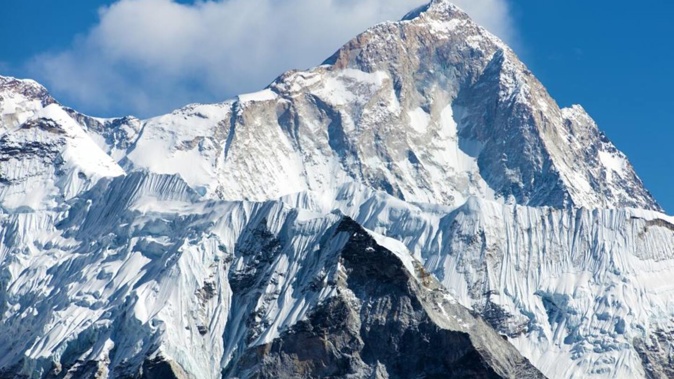
Mt Everest, part of the Himalayan mountain range, towers along the Nepal-Tibet border at around 8850m high. Not only is it the tallest worldwide, it leaves its surrounding peaks in the dust – rising around 250m above the next tallest mountain in the Himalayas, the 8611m K2 mountain.
But what could cause Everest’s anomalous height compared to its neighbours?
What is a river capture?
These extra metres on Mt Everest can be chalked up to a relatively rare “river capture event” from 89,000 years ago, according to the authors’ computer models. During such an event, one river changes its course, interacts with another and steals its water, Fox said.
In this case, the team said the Arun river network – about 75km east of Mt Everest – stole water from a river flowing north of Everest. Fox said the capture could have been initiated by a dramatic flood, which rerouted the water to a new drainage network. Today, the Arun River is a main tributary to the Kosi River to the south.
As more water then began flowing in the Arun River, erosion rates increased. Over millennia, the waterway carved a large gorge along its banks and washed away billions of tonnes of sediments and earth. That huge mass loss caused surrounding land to slowly uplift, a process known as isostatic rebound.
Mountains are a bit like icebergs because only a small portion is seen above the surface. In their case, a big pile of thickened crust basically floats on top of the mantle, said Fox. During this rebounding, the thickened crust pushes up to replace the material eroded away. He said it could take millions of years for the uplift to fully spread across the landscape.
How much is Everest growing?
The Himalayas formed around 50 million years ago from a collision between the Indian and Eurasian tectonic plates, which continue to slowly move today. The expected growth is around 1mm per year, but GPS data show recent uplift is around 2mm per year.
The rebound partly explains the difference, resulting in around a 15m to 50m increase in the height of Everest since the capture event, according to the study. Other Himalayan peaks, such as Lhotse and Makalu, are also affected. In fact, the authors say Makalu is located closest to the Arun River and would experience even more uplift.
Some scientists aren’t readily on board with the study’s findings.
Geologist Mike Searle, who was not involved in the research, said he was sceptical. For one, the modelling relies more on assumptions rather than observations, he said. Searle, who has conducted his own field research on rocks on Everest and Makalu, said dating river deposits or incision rates is very difficult.
He also said river capture happens all over active mountain ranges and is difficult to connect with uplift, especially when it happens tens of kilometres away.
“The main arguments are geographical,” Searle, a professor at Oxford, said in an email. “River incision, in my opinion, has little to do with mountain uplift.”
The main process causing the uplift of rocks, influencing the height of Everest and Makalu, is tectonics: the thrusting of plates causes topography.
Fox said the team did not disentangle competing factors that could also influence Everest’s uplift, but the river capture does have an effect.
Take your Radio, Podcasts and Music with you


