A new report has raised serious concerns about how a sinking Wellington region will deal with rising sea levels, with “one-in-100 year” floods potentially becoming an annual event.
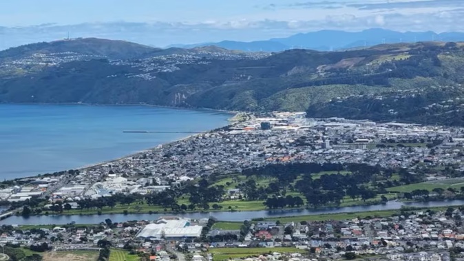
The report, prepared by climate scientists for several local councils in the Wellington region, states “the key areas that will be impacted the most by flooding are Petone, where the stormwater system is already under pressure, suburbs in Wellington City including the CBD and historical infill areas Miramar and Kilbirnie, and parts of Porirua such as the CBD and recreational areas”.
It warns flooding will have an impact on low-lying industrial areas and will deal a particular blow to the manufacturing sector.
One climate scientist has also warned sea level rise could mean one-in-100-year floods taking place annually within the next few decades.
The Wellington Regional Climate Change Impact Assessment data shows Lower Hutt is particularly vulnerable to rising seas levels, with 4690 buildings deemed “at risk” of coastal flooding impacts and coastal storm events — predominantly in Petone.
Petone’s stormwater system is already deemed “under pressure” in the report, exacerbating concerns on how the area will deal with severe weather paired with a rising sea level.

Flooding in Petone in 2015. Photo / @LanihahL
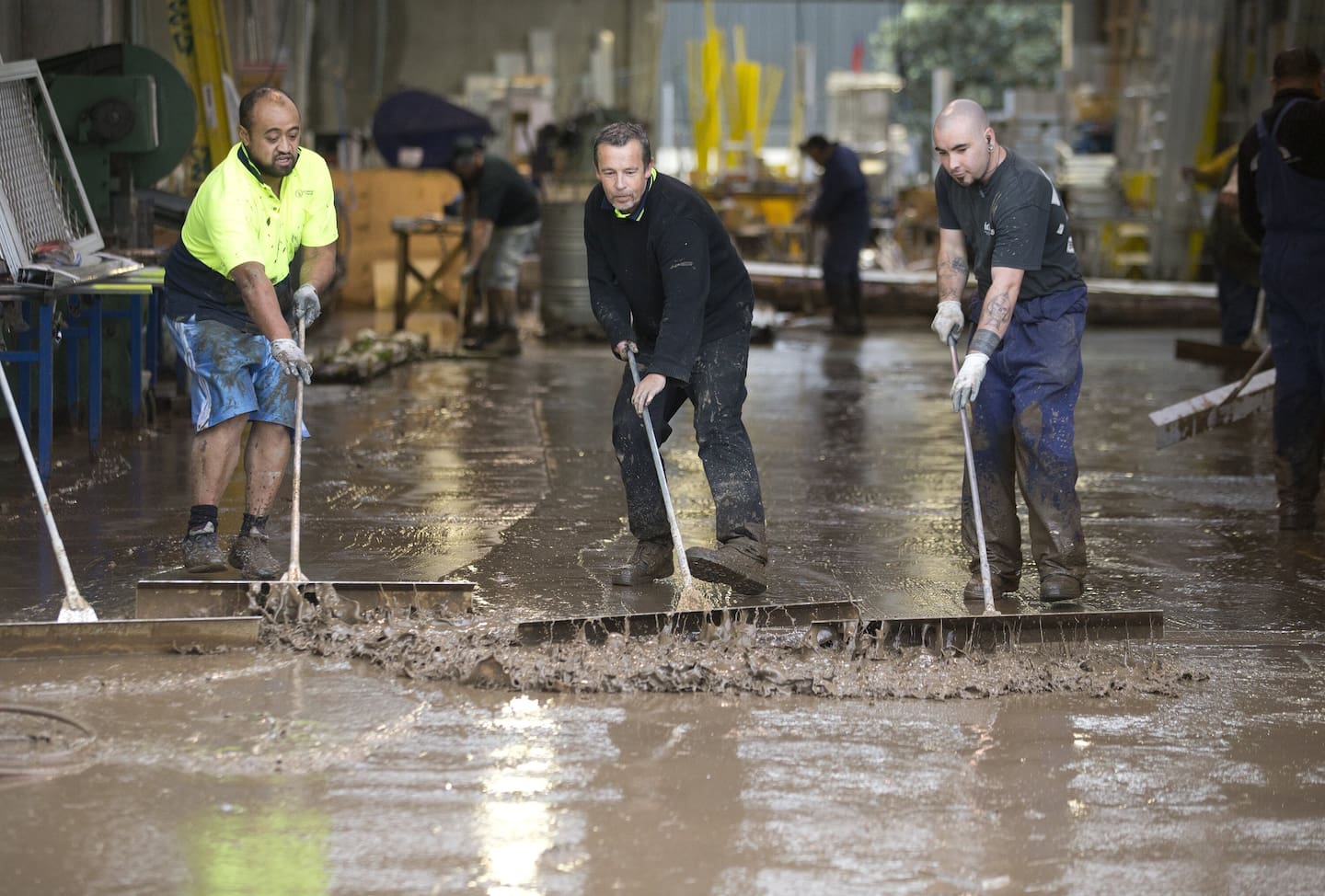
Workers scraping mud from the floor at Ullrich Aluminium in Cornish Street, Petone in May 2016. Photo / Mark MItchell
The report recommends councils prioritise work to identify coastal erosion areas, and pick out at-risk communities that need further action. Hutt City Council expects to be briefed on the matter.
Climate scientist Dr Tim Naish told NZME the land in the Wellington region is sinking. When this is paired with global sea level rise, the risk increases.
Naish said in general, land was sinking 2-4 mm a year, and global sea level is rising about 4mm a year.
“If you do the maths, you can pretty quickly figure out that it almost doubles the rate of sea level rise”.
Climate researchers estimate sea levels could rise by 30cm between 2005 and 2040 — a level Naish warns reaches a “threshold” to raise alarm bells across the Wellington region.
He said that would result in flooding becoming a regular occurrence in some suburbs.
The report highlights the financial impacts of climate change, alongside the already-mentioned environmental harms. It warns damage to residential buildings from coastal inundation would result in financial costs from repairs and increased insurance premiums.
More frequent landslides are another threat highlighted for residential property owners. The Wellington region climate report estimates about 210 buildings, 94% of which are residential, will have a high landslide risk and be deemed vulnerable by the middle of the century.
This number is forecast to rise to about 3400 buildings by the end of the century.

Porirua School closes after heavy rains floods the property in May 2016. Photo / Mark Mitchell
Petone Community Board chairman Mike Fisher said climate change was a concern because it was having an impact on Petone’s image and insurance rates.
“There are cases of people having difficulty getting insurance, or facing premium rises,” Fisher said, regarding both businesses and residential properties.
Key arterial roads are also said to be at risk of landslides, including State Highway 1 through Ngauranga to Grenada, State Highway 2 connecting Petone and Wellington, and roads connecting Brooklyn to Wellington CBD and Aro Valley to Northland.
Flood modelling suggests there are 61,674 buildings “exposed” to a potential flood risk. Of this, the report states 794 are school buildings, 195 are childcare facility buildings, and 45 are hospital buildings.
The total number of properties at risk of flooding is set to increase as the years go by.
“While the predominate (82%) impact will be on residential buildings, there are more than 2500 commercial buildings and more than 1800 publicly owned buildings that will be exposed to extreme flood events at the end of the century,” the report states.
Naish said the risk depended on how the world curbed emissions.
He said based on the present trajectory, Lower Hutt’s Petone will see significant sea level rise: “That in itself will flood the front of Petone, that’ll flood the Esplanade. During a storm surge, that will put a lot more water on to Petone and the streets close to Petone — even as far back as the main street.”
Naish said “there is still time”, and we have a few decades to put adaptation measures in place.
Azaria Howell is a Wellington-based multimedia reporter with an eye across the region. She joined NZME in 2022, and has a keen interest in city council decisions, public service agency reform, and transport.
Take your Radio, Podcasts and Music with you


