
Severe weather warnings have been issued for parts of the country expected to be battered by heavy rain over the next few days.
People in the Bay of Plenty are being warned of bouts of heavy rain starting from about 3pm tomorrow to 11am on Wednesday.
"Heavy rain may cause streams and rivers to rise rapidly," MetService says.
"Surface flooding and slips are also possible and driving conditions may be hazardous."
Locals are told they can expect between 130mm to 180mm of rain inland and between 70mm to 100mm of rain about the coast. Peak intensities of between 15mm to 25mm/hr are forecast on Wednesday morning.
There is also a heavy rain warning in Mt Taranaki from 9pm tonight to 3pm tomorrow, when periods of heavy rain are on the cards. 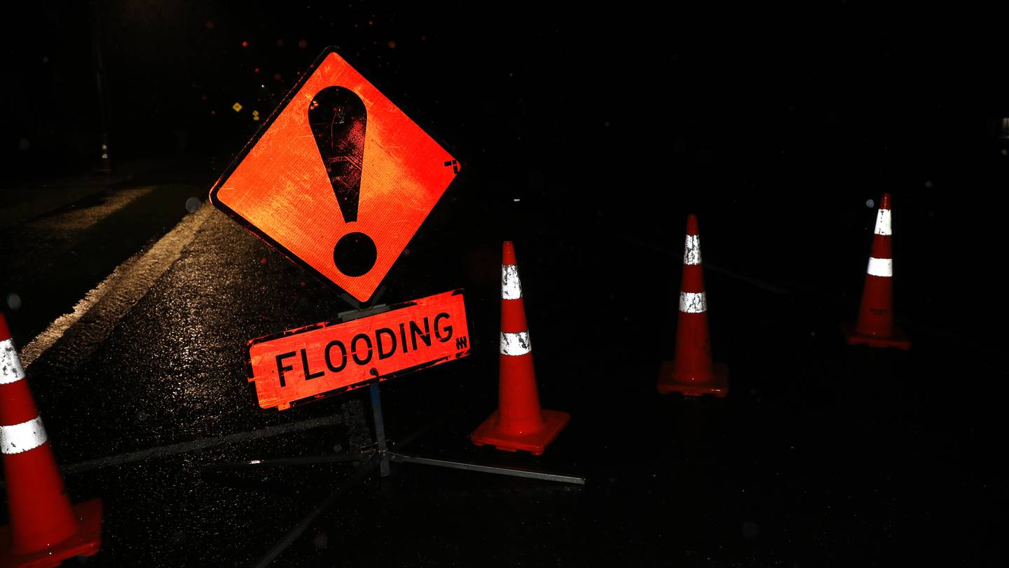
Heavy rain in some parts of the country may cause flooding. Photo / Hayden Woodward
People in the area are told there could be between 100mm to 150mm of rain in that period.
Nelson about and west of Motueka is also in for a drenching, with periods of heavy rain forecast in the 26-hour period between 8am tomorrow and 10am on Wednesday. Up to 120mm to 150mm of rain is forecast to fall in the region.
Heavy rain watches for parts of North Island
Other parts of the North Island - including Auckland - have had heavy rain watches issued.
Auckland from Whangaparāoa Peninsula northwards, including Great Barrier Island, has a watch in place from 8pm tomorrow to 5am on Wednesday.
A period of heavy rain is forecast then and weather authorities say rainfall accumulations may approach "warning criteria".
Other regions with a heavy rain watch now are the north and east of Northland, Coromandel Peninsula, Eastern Waikato and Taupō, Gisborne north of Tokomaru Bay and from north Taranaki (except the mountain) to Waitomo and across to inland Whanganui and Taihape.
The heavy rain and increasingly humid conditions over the last few days come as a newly named Tropical Cyclone Ruby has been located over the Coral Sea.
Its latest position is about 650km northwest of New Caledonia, as of this morning, and is moving southeast.
Tropical Cyclone Ruby
WeatherWatch head weather analyst, Philip Duncan, says it is currently a category 2 strong cyclone, but has the potential to become more fierce.
It is set to head over New Caledonia and some southern parts of Vanuatu tonight, before tracking towards New Zealand, Duncan said.
MetService says it is expected to intensify to a category 3 event as it moves across New Caledonia tomorrow.
By Saturday, however, weather experts expect that the cyclone's tropical characteristics will wane as it comes into contact with cooler seas.
"On Thursday, the system is expected to move southeast past the upper North Island as a deep low.
"Most outlooks suggest the system will remain offshore to the north of the North Island, but there remains some uncertainty regarding how close to New Zealand the system will come."
Take your Radio, Podcasts and Music with you


