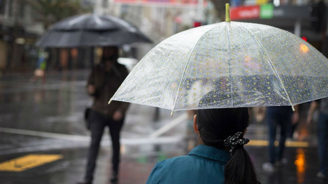
Auckland's picturesque morning is set to turn dramatically for the worse this afternoon with severe thunderstorms forecast for the region.
MetService has issued a severe thunderstorm watch for Auckland, Waikato, Waitomo, Taumarunui, Bay of Plenty and Rotorua until 9pm tonight.
"Unstable conditions this afternoon and early evening are expected to produce scattered thunderstorms across the central and upper North Island," the MetService warning says.
"There is a moderate risk of severe thunderstorms from south of the Manukau Harbour to Taumarunui and across to inland and eastern parts of Bay of Plenty."
MetService meteorologist Dan Corrigan said while the highest risk of thunderstorms is south of the Manukau Harbour, parts of Auckland city could be struck too.
"The greater risk of thunderstorms is south of Auckland city proper, and some of those thunderstorms south of the city may be severe, but it's still looking more likely than not that the city will see a thunderstorm today," Corrigan said.
Because of the slow-moving nature of the thunderstorms with little wind today, surface and flash flooding is a potential hazard.
The risk is highest near low-lying areas such as streams, rivers or narrow valleys, and may also lead to slips.
Driving conditions will also be hazardous, with surface flooding and poor visibility in heavy rain.
"Because of the slow-moving nature of these thunderstorms and because winds are very light, they may produce localised downpours of 25 to 40mm per hour, which can cause surface or flash flooding should you be directly in the path of that thunderstorm," Corrigan said.
Currently at 20C, Auckland's temperature is set to drop down to 15C by the late evening.
Corrigan said the warm morning the region had contributes to the risk of thunderstorms.
"Heat during the day is going to head up the land and the atmosphere is quite unstable when there's warm air near the surface and quite cooler air further above the surface," he said.
"That allows heavy shower cells and thunderstorm clouds to bubble up in the afternoon. So we're expecting that to happen around the upper North Island."
On Friday, a month's worth of rain fell in a day in the Gisborne area, which received over 200mm in 24 hours.
A state of emergency was declared in Gisborne due to the torrential rain, which caused flash flooding and rivers to rise rapidly.
Police, the army and Civil Defence were door-knocking homes in badly-hit areas of Gisborne and some residents were forced to leave.
Take your Radio, Podcasts and Music with you


