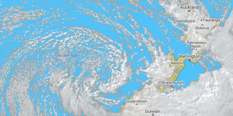
Spring weather is expected to arrive on cue on Thursday - as homeowners in the Waikato and Auckland regions continue the clean-up from a destructive 36 hours of gale-force winds and torrential rain.
WeatherWatch analyst Philip Duncan said the weather system that brought the carnage is set to blow itself offshore today.
A low-pressure system developing north of New Zealand meant today and tomorrow would be a bit gloomy with cloud but mostly dry.
Then on Wednesday, a high-pressure system was expected to make its way over the country and by Thursday - the first day of spring - the weather was forecast to be calm and settled.
"Spring arrived early this year because we had such a warm winter but it disappeared again and we certainly saw wintry conditions for the first half of August," Duncan said. "But I think most people will say it's mild and spring-like again. It was up to 25C in Hawke's Bay on Friday, which is incredibly warm for August."
Duncan said the first and second weeks of September looked to be dominated by high-pressure systems and settled weather, although it could still be frosty in inland areas.
Drought-affected Canterbury had a decent soaking on Friday but, unfortunately, Duncan said, it wasn't looking too good for the region for the next few weeks with a low possibility of rain.
The lack of rain was in contrast to the deluge that struck Auckland from Friday morning, with almost 36-hours of non-stop rain recorded in some parts of the region.
Gale-force wind gusts, some in excess of 100km/h, tore roofs off sheds, blew yachts ashore, flung a trampoline 80m across a section and left about 2000 homes without power.
Take your Radio, Podcasts and Music with you


