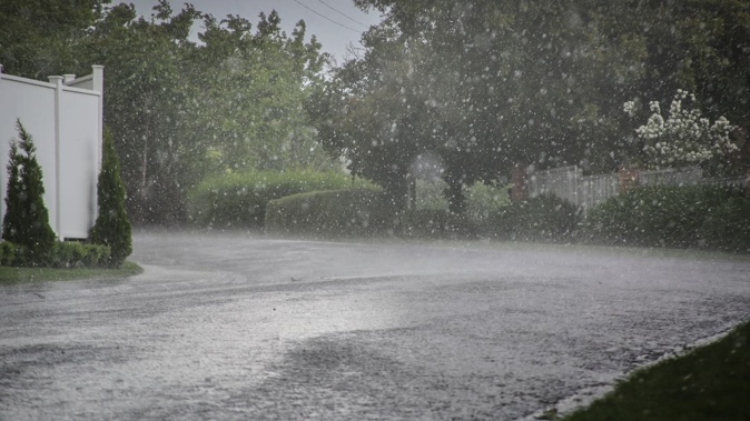
- Severe storms could lash the centre of the country around Marlborough and Wellington today.
- MetService attributes the unsettled weather to cooling upper atmosphere temperatures and a low-pressure system.
- Niwa forecasts a cool start to January, with a warm-up expected in the latter half of the month.
Thunderstorms and hail accompanied by localised downpours are possible for large parts the country today.
MetService says there’s a risk severe thunderstorms could lash the centre of the country around Marlborough and Wellington from this afternoon.
Lightning and heavy rain were also possible for Auckland, Northland, western Waikato, Taranaki, Wellington and Hawke’s Bay, along with Nelson, Tasman, the West Coast and North Canterbury.
For Auckland, MetService forecasts possibly heavy showers in the morning and again at night. The daily high was expected to reach 23C.
MetService said thunderstorms could hit Christchurch in the afternoon and Wellington City in the evening.
Showers in the City of Sails tomorrow morning should clear and bring in fine conditions with a high of 22C. The first day MetService has forecast without any rain is Monday.
The national forecaster said the unsettled weather today is brought by cooling temperatures in the upper atmosphere and a low-pressure system spreading over the country.
“Tolaga Bay, Tairāwhiti Gisborne is the pick for holiday weather, with sunshine, northwest breezes and a high of 26C (just a chance of an afternoon shower),” MetService said.
The National Institute of Water and Atmospheric Research (Niwa), meanwhile, has forecast “a decidedly cool lean” for the first half of January.
“After a profoundly warm December with dozens of locations observing record or near record warmth ... guidance favours more unusually cool days than warm ones to about mid-month,” the institute said.
Niwa said early signs point to a “warm-up” for the latter half of the month.
Niwa also released a forecast of weekly rainfall anomalies for each week of January, showing which parts of the country will likely see more or less rainfall than normally recorded in a week.
The projection showed Southland, Otago, the West Coast, Nelson, Taranaki, Bay of Plenty, Coromandel, Auckland and Northland could see less rain than typical for the first two weeks, Niwa said.
Higher-than-usual rainfall rates were tipped for Canterbury, eastern parts of the Wellington region and Hawke’s Bay for the first two weeks, Niwa said.
In the last two weeks of January, the Coromandel, Auckland and Northland joined the areas projected to see more rainfall than is typical for those weeks.
Raphael Franks is an Auckland-based reporter who covers breaking news. He joined the Herald as a Te Rito cadet in 2022.
Take your Radio, Podcasts and Music with you


