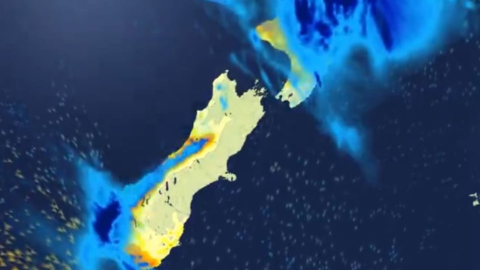
Heavy rain and thunderstorms threaten the top half of the North Island with severe weather alerts issued for today.
Forecaster Oscar Shiviti said a low-pressure system would come in from the northwest and bring a surge of warm, moist air.
MetService has issued heavy rain watches for Northland, Auckland, the Coromandel Peninsula, Bay of Plenty and Gisborne/Tairāwhiti lasting from 4am to 6pm.
“During Thursday afternoon and evening, a frontal wave is expected to bring further heavy rain over the northern and central North Island, while cooling temperatures aloft trigger thunderstorms in some areas,” MetService warned on its site.
Shiviti said between 25 to 40mm of rain was expected to fall during the day.
“There is a risk for localised heavy downpours in Northland, Auckland, the Coromandel Peninsula, Bay of Plenty and Gisborne/Tairāwhiti.”
In Auckland, rain was forecast to develop in the morning and turn to showers in the afternoon.
There is a moderate risk of thunderstorms for Northland, Great Barrier Island, Auckland, western Coromandel Peninsula, Waikato, Waitomo and Taumarunui from the afternoon onwards.
Shiviti said temperatures across the top of the North Island were expected to range from the low to mid-20s for most of the day.
Auckland, Gisborne and Northland are forecast to reach a high of 22C in the afternoon and expected to drop to 18C tomorrow night.
Meanwhile, in the South Island, temperatures on the east coast of the South Island are set to reach a few degrees higher.
“The warmest will be Christchurch and Ashburton at 28C,” he said.
Wet conditions were still expected for much of the top half of the North Island tomorrow, with northern centres forecast to experience warm and muggy weather on the back of the system.
Whangārei and Hamilton are both forecast to hit 27C on Saturday.
A separate front arriving in the west and south of the South Island also posed a low chance of severe rainfall for Fiordland and the far south of the Westland District.
That’s been a familiar picture since spring, with high pressure to the northeast and low pressure to the southwest driving a succession of rainy, westerly fronts onto New Zealand.
For eastern regions like Hawke’s Bay, where these westerly winds have arrived stripped of moisture, the result has been parched soils and high fire danger.
Coastal areas of Hawke’s Bay now met the criteria for drought, while swathes of the region were classified as very to extremely dry.
The region is forecast to get scorching hot temperatures this week, with the mercury to reach 30C in Hastings on Friday and Saturday.
Take your Radio, Podcasts and Music with you


