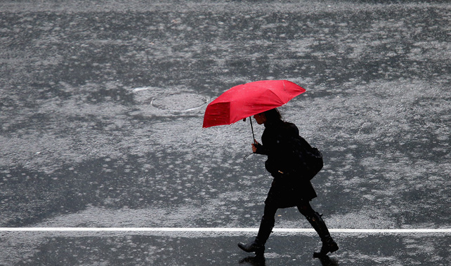
Rain has arrived just in time for the weekend in upper and eastern parts of the North Island, as MetService issues heavy rain watches.
A severe thunderstorm watch has also been issued for Northland and Great Barrier Island, but rain is expected to ease in Northland this morning.
Auckland from Whangaparaoa northwards and Great Barrier Island are under heavy rain watch until 2pm on Friday.
MetService said rain could be heavy at times, with localised downpours of 25 to 40 mm/h possible and a chance of thunderstorms about Great Barrier Island.
Periods of heavy rain are expected across the Coromandel Peninsula and Bay of Plenty from Te Puke westwards until noon on Saturday.
The wet weather has been brought on by a low-pressure system over the Tasman Sea, which is expected to move slowly across the north of the North Island through Friday and into Saturday, bringing periods of heavy rain.
There is a moderate risk of a few thunderstorms over Northland and Great Barrier Island, with localised rainfall rates of 15 to 25 mm/h, and a low risk further south into northern parts of Auckland and the Coromandel Peninsula.
Niwa (National Institute of Water and Atmospheric Research) said the western North Island and the South Island should stay dry but the interiors of both islands will be chilly again, with temps below zero.
Auckland Emergency Management also alerted watches for parts of the city.
Peak rainfall rates during electrical storms could reach 40mm an hour, MetService said.
Forecasts would be monitoring the thunderstorms closely, and a red thunderstorm warning will be issued if any severe storms are detected on their radars.
MetService meteorologist Ngaire Wotherspoon said: “Northland is likely in the firing line starting [Thursday] evening, until at least late [Friday] morning as the front tracks south.
“We expect the front to reach Auckland early Friday morning when a heavy rain watch comes into effect from Whangaparāoa northwards.”
By Friday afternoon, the heavy rain is likely to spread to Coromandel with the low-pressure system travelling east across the island.
Wotherspoon said there was still some uncertainty about where the weather would be the most violent.
She said showers would linger around the north of the country into the weekend, while heavy downpours move over Gisborne, Hawke’s Bay and Wairarapa.
Niwa said the low-pressure would become more common over the next two weeks, with westerly winds becoming more common later this month.
Private forecaster WeatherWatch said sub-tropical winds should lift the temperatures in most regions over the next week.
Take your Radio, Podcasts and Music with you


