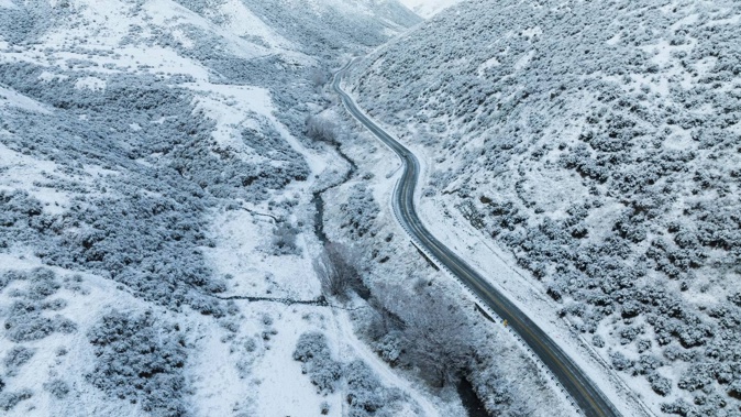
Forecasters are warning flooding is possible in the South Island to accompany “prolific snowfall amounts” in the coming days.
That includes heavy snow and rain warnings for Dunedin, where snow has been forecast down to 200m. The local council has warned of damage to trees and powerlines and travel disruption due to surface flooding and slips.
A dynamic low in the Tasman Sea, featuring a cloud band that extends from near Darwin in Australia to New Zealand, is set to deliver widespread rain and wind this week, forecaster Niwa says.
“Blocking high pressure to the south and north mean that the system will be slow-moving with lots of rain and elevation snow,” Niwa said.
Rain was expected to be most persistent in the eastern South Island, including Otago and Canterbury, through Wednesday. Flooding was also possible.
“A slow-moving and heavy band of rain may form over the eastern North Island on Wednesday night,” Niwa said.
A raft of severe weather warnings and watches have been issued throughout the South Island, including an orange heavy rain warning over North Otago, Dunedin and Clutha, which came into effect at 8pm last night.
MetService forecast up to 55mm of rain to fall through to 3pm on Tuesday and rain was expected to turn to snow above 200m.
“It’s not often we see persistent rain like this in this part of the country and the area does not need large amounts of rain for impacts to be felt. We could see surface flooding, especially in eastern areas of Dunedin,” said MetService meteorologist Mmathapelo Makgabutlane.
An orange heavy snowfall warning over South Canterbury high country and the foothills south of the Rangitata River lapsed at 4am this morning after 24 hours. Meanwhile a further snowfall warning issued for the hills of eastern Otago, including Dunedin, will remain in effect until 10pm tonight.
The snow level was expected to lower to 300m to 500m overnight Monday and during Tuesday morning – with potentially large accumulations about eastern Otago.
Motorists using the Lindis Pass (State Highway 8), Milford Road (SH94), and Crown Range Rd – where as much as 15cm of snow was possible in places above 700m - were also urged to take care.
“This is expected to be a wide-reaching snow event, especially for farmers and road users,” Makgabutlane said.
Niwa said snow would continue in the South Island into Thursday.
Severe gales gusting up to 120km/h are also expected for Westland, Grey and Fiordland regions, with the potential to damage trees, powerlines and unsecured structures. These warnings will remain in effect until Wednesday.
MetService said while rain is on the cards for much of the country this week, the wettest weather was expected in the east of both the North and the South Islands.
“This is a developing situation, and although it’s all happening in the South Island during the early part of the week, it’ll be a good idea for people in the eastern North Island to also have a close eye on the forecast,” Makgabutlane said.
Take your Radio, Podcasts and Music with you


