After another unseasonable run of warm winter temperatures, forecasters say a coming southwest change could spell a chilly, windy start to the school holidays.
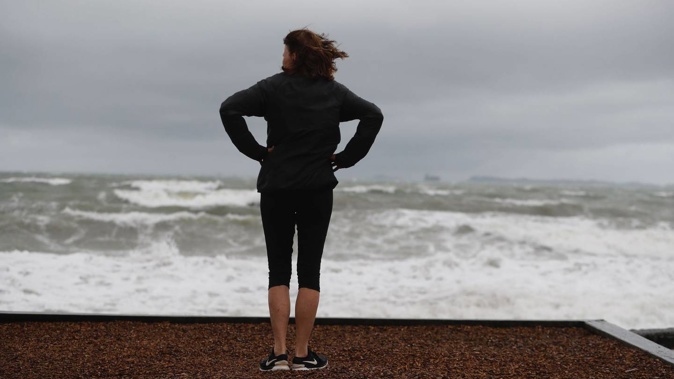
Niwa meteorologist Ben Noll said the back end of the week could bring “a pretty good pulse of westerlies”, with winds of 80km/h possible in coastal areas and exposed spots.
“We haven’t really had frequent episodes of really strong winds yet, this winter.”
For Saturday, MetService’s severe weather outlook gave low confidence – or a one-in-five chance – of westerly winds rising to severe gales in Northland, Auckland, Coromandel Peninsula, and from central Hawke’s Bay to Wairarapa.
/cloudfront-ap-southeast-2.images.arcpublishing.com/nzme/KKFEWAJ47RBNTNLIQWOZHVTYAU.png)
Image / MetService
It gave similar odds of south-west severe gales about coastal Southland, and Clutha on Saturday, along with warning amounts of rain in Buller, Westland and Fiordland.
Noll said the cold temperatures could follow, as the southwesterly flow dragged up cool masses from the Southern Ocean.
MetService reported a possibility of snow later in the week - especially for those higher elevations in the south.
“While it is too far out to pinpoint the finer details of the forecast for next week it is looking like a cold and windy start to the school holidays,” MetService meteorologist Amy Rossiter said.
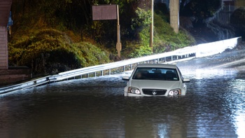
Meanwhile, rain or showers were forecast for much of the country today as a band of rain moves eastwards across the country, followed by an unstable showery flow.
Thunderstorms were also possible for the north and west of both Islands this afternoon and evening.
An orange warning for heavy rain was in place for the ranges of Westland through to 9pm tonight.
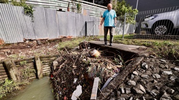
About 86mm of rain has already fallen in Franz Joseph from midday Sunday through to 9am today, with a further 30mm to 50mm expected to fall today, she said.
Further north, a whopping 585mm fell on Raukumara Range between Friday and Sunday, along with 255mm in nearby Gisborne.
“Surface flooding and slips are still possible due to how saturated the region is, but rainfall amounts are expected to be well short of warning criteria so no further warnings or watches will be issued,” Rossiter said.
Last week, MetService reported some regions had seen more than a year’s rain in six months.
As at Friday, MetService’s Gisborne Airport weather station had already received 990.7mm in 2023, just 9.1mm less than its average annual rainfall, 999.8mm.
It’s also been one of the warmest Junes on the books, with temperatures over the month to date tracking around 1C above average.
Widespread marine heatwave conditions – which have warmed sea surface temperatures around the South Island and much of the north-west to between 1.2C to 2.6C above average - were continuing to take a bite out of the seasonal chill.
“We’ve also had more northerly winds, which has probably helped to reinforce the marine heatwaves to some extent,” Noll said.
Both of those factors happened to feature in our last three winters – each of them record-breakers for unusual warmth amid a since-faded “triple dip” La Niña.
“Those two things have certainly been part of a lag in La Niña-like patterns that we’ve seen early in winter,” Noll said, adding New Zealand had also been feeling the ongoing influence of a vast swathe of heated subtropical water called the West Pacific Warm Pool.
“But as we go through winter, we can expect a progression away from that – and we’re now seeing the warmest waters start to shift away from the West Pacific, into the Central Pacific and east.”
Gradually, the switch to El Niño would spell more southerly and south-westerly winds, which would help to churn up and cool ocean waters.
Take your Radio, Podcasts and Music with you