A mid-week burst of polar air is set to send large parts of New Zealand back to winter, as MetService issues advisories for snowfall, strong wind and heavy rain.
Auckland and other centres across the North Island are forecast to experience low temperatures in the single digits later this week, when a chilly south-westerly flow moves up the country.
It comes as the school holidays has opened with widespread showery weather, with a moderate risk of thunderstorms in many places this afternoon.
They include areas from Northland to Bay of Plenty, the central high country and Whanganui, Gisborne, Hawke’s Bay, Tararua District, Marlborough Sounds, Tasman District and Buller, as well as about eastern and southern South Island areas.
“But it’s tomorrow that we see the main weather system coming in,” MetService meteorologist Lewis Ferris said.
The system, stemming from an area of low pressure to the south-west of New Zealand, was forecast to arrive with a front bringing strong north-westerly winds and rain to the western South Island.
MetService has issued a heavy rain watch for Westland for Tuesday - when heavy rain may approach warning levels – as well as for the headwaters of the Canterbury lakes, and rivers from about Arthur’s Pass southwards.
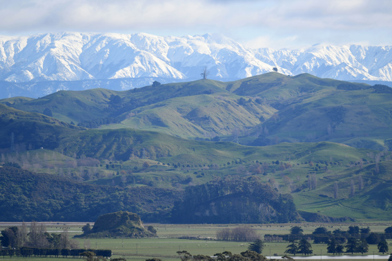
 MetService has issued a raft of weather watches and warnings for New Zealand tomorrow. Image / MetService
A heavy snowfall warning is also in place for Otago’s Milford Rd, where snow was forecast to reach elevations of 600m tomorrow evening and Wednesday morning, with 15cm to 30cm possibly settling near the tunnel.
As well, there was a risk of west-to-northwest winds hitting severe gale strength in exposed areas of coastal Southland and Clutha, the Canterbury High Country and Wellington and Wairarapa tomorrow.
“After that, we have cool air that will start to move up the country through Wednesday and Thursday,” Ferris said.
“That temperature drop will be most notable in eastern areas of both the South and North Island – and it does bring the risk of some snow as well.”
Locations including Alexandra, Twizel, Queenstown were forcast to experience lows close to or below 0C around Wednesday and Thursday.
“That’s getting lower than average for October, but we’re not looking at any record-breaking frosts.”
Further north, single-digit overnight lows were forecast on Thursday for most centres including Auckland (8C), Hamilton (6C), Tauranga (9) Taupo (3C) and New Plymouth (6C).
Niwa meteorologist Ben Noll described this week’s weather as reminiscent of the colder conditions seen throughout last month and winter.
Later in October, however, he said it was possible there’d be another pulse of “La Nina-like” climate conditions that proved the backdrop for last week’s Dunedin deluge.
- NZ Herald
Take your Radio, Podcasts and Music with you


