Some 33 hours of snow is set to start falling in parts of the South Island in coming hours as a storm hits that is set to last up to three days.
The incoming system is set to deliver widespread wind and rain this week – and a potential heavy dump of snow in the south – with a raft of severe weather warnings in place.
MetService forecaster Gerard Bellam said a large low-pressure system sweeping down from the Tasman Sea would be feeding moisture into a cold south-easterly flow – meaning wet, wintry, weather for many parts of the south.
Areas northwest of Motueka could be soaked with up to 100mm of rain within a 12-hour period from 10am today.
Orange warnings have also been issued for North Otago, Dunedin, and Clutha southeast of Raes Junction, with the potential for up to 120mm between noon today and tomorrow evening.
A snow watch was in place for South Canterbury, including the foothills, inland areas of Otago and Southland, as well as eastern Fiordland from today until tomorrow.
There was a moderate chance of that watch being upgraded to a warning - with snowfall possibly reaching warning criteria for the Otago, Southland, and Fiordland areas.
It is set to start falling at 9am and not let up until 6pm tomorrow.
The snow level was expected to lower to 300m to 500m overnight Monday and during Tuesday morning – with potentially large accumulations about eastern Otago.
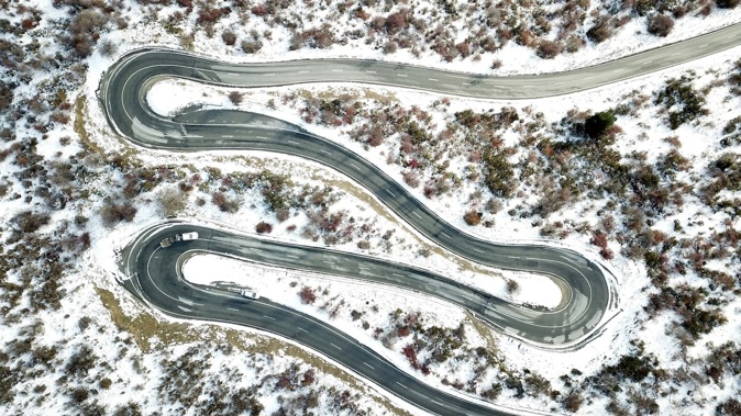
Motorists using the Lindis Pass (State Highway 8), Milford Road (SH94), and Crown Range Rd – where as much as 15cm of snow was possible in places above 700m - were also urged to take care.
A heavy rain watch is in place for Mt Taranaki, Westland District, Southland, and Clutha about and northwest of Raes Junction today. There was a moderate chance of these being upgraded to a warning.
Elsewhere, the weather system brought a risk of strong winds to areas including Westland and the Fiords – and a heavy rain watch is in place for Mt Taranaki, Westland District, Southland and Clutha.
People in most parts of New Zealand could generally expect wet weather over the next few days, Bellam said – but in northern centres like Whanganui, which is forecast to hit a mild 17C today, conditions wouldn’t be as cold as in the south.
“As we head into Wednesday, we’ve got low confidence of heavy rain for eastern parts of the South Island – and on Thursday, we see that cold air in the south spreading up into the North Island,” he said.
“Once we get into Friday, we’ve got minimal risk of severe weather – but the early part of the week is going to be notable.
“I suppose that’s a mixed blessing, as we’ve had a fairly poor ski season so far, and those South Island skifields have been anticipating water for snow.
“But people do need to take care and keep up to date with our forecasts and warnings for the next few days.”
Take your Radio, Podcasts and Music with you


