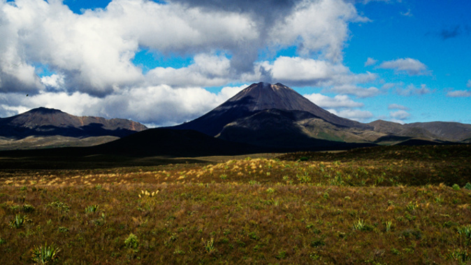
- Widespread volcanic ashfall in the event of a major North Island eruption is one of New Zealand’s key natural hazards
- Scientists say a large event could affect thousands of homes, but probability of heavy damage from ashfall is low
- In a new project, researchers are developing a model enabling ashfall forecasts of worst-affected areas in real time
If ever Lake Rotoaira residents needed a reminder they had an active volcano for a neighbour, it came with a quick-fire midnight Tongariro eruption on August 6, 2012.
At daylight, they found themselves sweeping their roofs and vehicles of ash spewed out of the volcano’s Te Maari Crater, in its first blow in more than a century.
When the crater erupted again just a few months later, it sent another large ash cloud 4000m into the air, forcing local flights to be cancelled.
That was the most recent case of volcanic ash hitting the ground on the North Island mainland – and scientists constantly stress that it won’t be the last.
GNS Science natural hazard and risk scientist Dr Josh Hayes said ashfall from a future eruption could affect thousands of buildings around the North Island.
According to GNS estimates, light ashfall erupted from volcanoes like Ruapehu and Ngāuruhoe was likely to be less than 50mm thick.
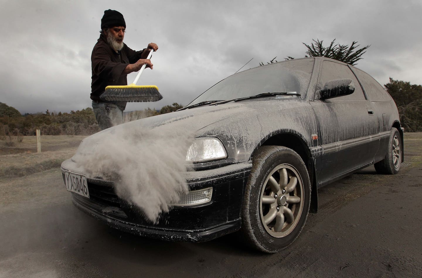
In August 2012, Vic Cassin sweeps ash from one of the vehicles parked on his section near Tūrangi, which was in the path of the ash cloud that resulted from an eruption of Mt Tongariro. Photo / Alan Gibson
But that was still enough to cause minor damage to houses, contaminate water supplies, block sewers, cut electricity networks and affect livestock.
Most pastures would be killed by ash more than 50mm thick, while weaker roof structures could collapse and trees stripped of foliage under ash more than 100mm thick.
“Fortunately, around some of our volcanoes such as Ruapehu, Tongariro, and Taranaki, we have national parks, which limits building up large developments in high-risk locations,” Hayes said.
That meant it’d take large “and relatively rare” eruptions to cause heavy damage from ash.
“For example, the 1995-96 eruptions of Ruapehu produced fairly modest amounts of building damage, mainly associated with damage to gutters and ash clean-up,” he said.
“However, we know looking at the geological record that these volcanoes have previously produced larger eruptions that if they were to occur today could cause more substantial damage.”
Ahead of the next major eruption, Hayes and a team of scientists are building a sophisticated forecasting model that’d allow agencies to quickly gauge ashfall impact, saving time and resources.
The new research project, Natural Hazards Commission, aimed to fill a gap between internationally developed models used overseas and data that’d be collected immediately after a local eruption.

This image shows major ash falls during the 1995 and 1996 eruptions of Mt Ruapehu. Image / GNS Science
“Knowing where the ash will travel and forecasting the amount of ashfall loading that accumulates on roofs in different areas will be the key metric when we assess the damage to buildings from volcanic ash.”
It’d also mean emergency efforts could be directed at the right places as the situation unfolded.
The new model will use scientific data, engineering reports and satellite images, but also crowd-sourced data, like social media, to build a comprehensive picture after an eruption.
“Naturally the reliability of information varies across different sources, so our methodology will factor in the reliability of different post-event data.”
The team, from GNS, the University of Canterbury and Singapore’s Nanyang Technological University, expect to complete the model by the end of next year.
“We hope to eventually be able to expand the approach to all other natural hazards.”
Take your Radio, Podcasts and Music with you


