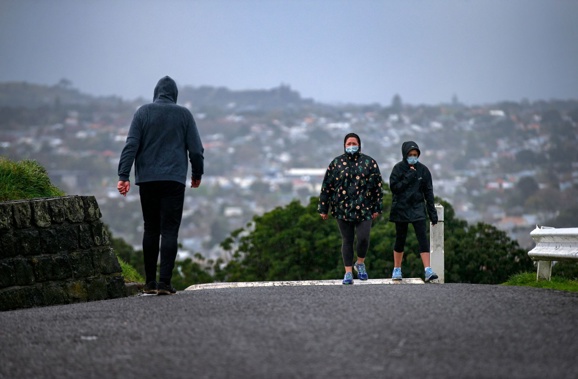
As sun-starved Wellingtonians need little reminding, summer 2025 has been much more bummer than stunner.
But just much worse has the weather been?
Niwa meteorologist Chris Brandolino has crunched the numbers to find multiple locations have been recording maximum temperatures several degrees below what they’d usually get at this time of year.
And in some places – like Wairoa, Masterton and Banks Peninsula – the difference has been a noticeably chillier 6C below normal.
Brandolino said the cooler pattern, which set in around New Year, was being driven by southerly flows sweeping up from deep below New Zealand – and it was likely to linger about for another week to come.
In Wellington, which was granted a slight reprieve with warmer weather today, the average mean-maximum registered at Niwa’s Kelburn station over the first five days of 2025 registered at just 17.2C - or 3.1C below normal.
At Trentham, Upper Hutt, that change has been starker still: with daily highs averaging out at only 17.5C, or 4.7C below normal.
Further north in Masterton, that mean-maximum over the period has averaged 17.8C - a 6.6C difference – with similar anomalies observed at Akaroa (16.8C, or 6.1C below normal), Hanmer Forest (18C, or 5.8C) and Wairoa (19.2C, or 5.9C).
Brandolino singled out some other centres: Dannevirke’s mean-maximum of 17.5C over the last couple of days was just under 5C below normal – with Christchurch Airport’s station registering the same numbers.
Niwa’s stations at Stratford and Whanganui observed cooler anomalies of 3.1C and 3.6C respectively.
“If we turn to Auckland, the average maximum for the first five days of the year, as recorded at the airport, has been 22.6C - that’s a departure of –1.3C, but is still quite significant,” he said.
“And if we head down the country, Hamilton, at Ruakura, has had a mean-maximum of 22.6C over the last six days, which is an even 2C below the long-term average.”
New Plymouth’s average maximum over the year’s first five days was 20.5C - 1.3C below normal – which compared with the slight 1.4C anomaly recorded at Appleby, near Nelson, where daily highs have averaged 21.4C.
Tauranga’s mean-maximum of 23.4C over the same period was 0.9C below the long-term average.
For holidaymakers trying to enjoy the last of their summer break, Brandolino acknowledged the cool shift was “very bad timing”.
“If you account for the period just before New Year – and consider that we’re in for another five days to a week of this pattern - then we’re talking three weeks of lacklustre temperatures at the very core of the holiday season.”
He said the switch to glum weather would been made more noticeable to beachgoers by the fact last month happened to be New Zealand’s fourth-warmest December.
But he added that not everywhere in the country had experienced the cool-down.
On the South Island’s West Coast, Hokitika and Greymouth had enjoyed a run of days with maximum temperatures averaging 3.3 and 2C above average, respectively.
MetService meteorologist Mmathapelo Makgabutlane said another cold front was due to sweep up the country on Wednesday.
After that, clearer conditions were expected for many areas in the latter half of the week – but eastern regions were likely to remain mostly cloudy and cool, with occasional showers lingering.
In the lower North Island and eastern parts of both islands, daytime highs would struggle to climb past the mid to late teens.
The picture might have been markedly different had a warm-and-wet La Nina climate pattern formed – as had long been anticipated – but Brandolino said this now looked increasingly unlikely.
- NZ Herald
Take your Radio, Podcasts and Music with you


