Forecasters are picking a shift to warmer, drier weather this month – courtesy of hot air masses from Australia - that’ll set the stage for our long-awaited El Niño summer.
The big climate pattern is expected to intensify over the next three months – bringing the north a markedly different flavour to its last relentlessly wet summer under La Niña - and to linger on through autumn next year.
But first, Niwa meteorologist Ben Noll said, a regime shift this month would pull our weather trends away from the often wet and chilly conditions we’ve seen during spring.
“We’ve had some ups and downs this spring, but once we hit the second half of November, we’re going to be on the upswing,” he said.
“It looks like we’re going to get some pretty hot and dry for a lot of regions, starting around the middle of the month, and that’s going to set the stage for what we’re predicting in our three-month outlook.”
/cloudfront-ap-southeast-2.images.arcpublishing.com/nzme/LDQA5R36IRCA7LYWYYIFOH7OJE.png)
Source / Niwa
Between now and the end of January, Niwa was picking below-normal rainfall in the North Island’s north and east, above-normal rainfall in the west of the South Island, and equal odds for near or below-normal rainfall elsewhere.
Temperatures were most likely to be above average in the east of both islands and in the north of the North Island – and either near or above average in other regions.
This set-up reflected the classic hallmarks of El Niño in New Zealand, as did the potential for stronger-than-normal westerly winds over most of the country throughout the warm season.
- Spring storm: Record heat for east, rain, wind alerts for south, then snow
- Here come the windy westerlies: how El Niño is adding to spring’s bluster
- El Niño incoming: NZ's climate to take 'rapid turn' within weeks
- Here comes El Niño: How the next three months will feel different
Noll said it was an “adjustment” in those winds – shifting from southwest to west and northwest – that would expose New Zealand to warm air masses from Australia later in November, and at times in December.
“As we know, Australia has been warming up, drying out, and there’s bushfires developing – so any airmass that tracks our way from there is bound to result in some pretty hot temperatures for northern and eastern areas, in particular,” he said.
“We could be looking at 35C temperatures there – or strings of days in the 30s - at some point in the not-too-distant future.”
With some “hot spots” for dryness already developing in New Zealand, he said it was possible a dry spell expected later this month could lead to further drops in soil moisture in some northern regions.
“On the flip side, the West Coast and Southland have been enjoying some fairly decent weather recently - but once that west-to-northwest flow resumes, they’ll be getting into that real active pattern again.”
For Aucklanders starved of sunshine last holiday season – 2022/23 went down as by far the region’s wettest in history – Noll had largely good news.
“Over spring, things have tracked slightly drier than normal for the city, and that’s a theme that’ll likely continue there, as well as in Northland, Coromandel and much of the North Island,” he said.
“The location of the subtropical high is going to find itself overhead more times than not in the weeks and months ahead, which will increase the frequency of dry days and warmer temperatures.
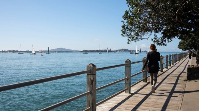
“So, the chances for more pleasant beach days in Auckland are much higher than this same time last year.”
/cloudfront-ap-southeast-2.images.arcpublishing.com/nzme/6GWWG2PKABGQJKSJULEXPSSZII.png)
Source / Niwa
The sunny outlook, however, came with one major caveat – or what Noll called a “weather wildcard”.
That was a vast swathe of water in the West Pacific above New Zealand that was still running unusually warm – and which has proven a potent source of moisture for big rain-makers from the north over the last few years.
Although El Niño had helped place a buffering ridge of high pressure above the country, it was still possible for systems to make their way around it at times – as just happened with a northern drenching from Cyclone Lola’s remnants.
“What forms up in the tropics, if it comes down to New Zealand, that’s totally dependent on the pressure pattern unfolding near us in the mid-latitudes at that time.”
Jamie Morton is a specialist in science and environmental reporting. He joined the Herald in 2011 and writes about everything from conservation and climate change to natural hazards and new technology.
Take your Radio, Podcasts and Music with you


