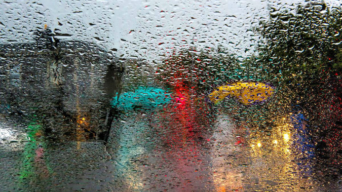
Auckland's wet and wild weather isn't over yet.
A slow moving front lies over Auckland, Coromandel Peninsula, Waikato and Western Bay of Plenty today, bringing a heavy rain watch with it.
Metservice meteorologist Nicole Ranger said people in those areas could expect periods of heavy rain, possible thunderstorms and some heavy downpours.
Some of these thunderstorms could be severe producing localised downpours of 20 to 35mm per hour.
"Wind shouldn't be too much of an issue, it's the rain that's more of the issue."
Ranger said they hadn't received any reports of tornados, but a few thunderstorms had gone through the night, and rainfall had been particularly heavy around Auckland.
"Around 2am to 3am a lot of stations around Auckland have seen anywhere from 20 to 28mm of rain per hour, which is quite decent."
Auckland suffered the most intense rain last night across the country, and "definitely got the worst of it", Ranger said.
Vector's latest figures show more than 22,000 homes are still without power.
A substation went down in West Auckland last night plunging a "large number" of additional customers into darkness.
Ranger said Northland and Gisborne could expect some showers today, with heavier showers in the afternoon.
"Southern Taranaki to Wellington is actually looking okay, it will likely fine up today. The South Island is also looking fine."
There's more wild weather to come for Auckland, as another active front moves towards the city on Monday.
Today's wet weather follows a night of weather mayhem that blasted Auckland on Tuesday with winds gusting up to 213km/hr in the Manukau Heads.
It tore roofs from houses and uprooted trees that came crashing down on powerlines. At its peak 180,000 homes were without power.
Take your Radio, Podcasts and Music with you


