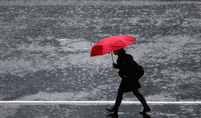
Heavy rain is hitting Auckland, coinciding with the evening commute, as a spell of wet weather and gusty wind sweeps across the North Island.
The Southern Motorway is flooded between Penrose Rd overbridge and the Southeastern Highway off-ramp, Waka Kotahi said.
Onehunga Line train services were also suspended due to flooding on the tracks near Onehunga Train Station. Services on the line are being reinstated but commuters are told to expect delays on the train network.
In the South Island, meanwhile, snow is expected to wreak havoc on highways over the next two days as temperatures across the country drop.
Although the National Institute of Water and Atmospheric Research (Niwa) called the impending weather “a puff of colder air [making] a brief visit”, MetService warned people to have their wet weather gear on hand.
MetService forecast isolated showers would turn heavy for Auckland this afternoon, with as much as 6.3mm of rainfall an hour expected about 7pm.
“About 3 o’clock, we’ll see that brief, heavy rain pass over. It is expected to be short-lived, just a few hours, and then it will move on,” MetSerice meteorologist Clare O’Connor said.
“Then looking ahead, it’s not quite sun for the rest of the week, unfortunately, Tuesday will be a bit showery again, but much lighter than today. Then there will be another burst of rain on Friday morning.
“[Auckland has] had some relatively fine weather [over the past week], so the ground is not super saturated like it was [earlier this year]. So, we’re not expecting big impacts from this rain.”
It comes after one forecaster said New Zealand’s climate was about to take a “rapid turn” towards a hotter, drier summer under an El Niño system.
“This could dramatically reduce the chance of seeing those tropical moisture plumes as we look ahead - so it’s kind of a double-whammy of climate drivers that are going to be coming on quite strongly,” Niwa meteorologist Ben Noll said.
In the South Island, meanwhile, MetService has issued two heavy rain watches: in Westland north of Otira and Buller, and Tasman west of Motueka and the Brant and Richmond Ranges.
Both watches began at 9am today and will lapse by 6pm. MetService has also issued half a dozen road snowfall warnings, with upwards of 20cm of snow expected in places.
The first road snowfall warnings begin for Lindis Pass, State Highway 8, at 2pm today; the Crown Range Rd at 1pm; and the Milford Road, SH94, at 11am today. All should end at 5pm Tuesday.
A road snowfall warning for Porters Pass and Arthur’s Pass, SH73, lasts from 9am until 6pm tomorrow; and for Lewis Pass from 10am until 7pm tomorrow.
Raphael Franks is an Auckland-based reporter who covers breaking news. He joined the Herald as a Te Rito cadet in 2022.
Take your Radio, Podcasts and Music with you


